
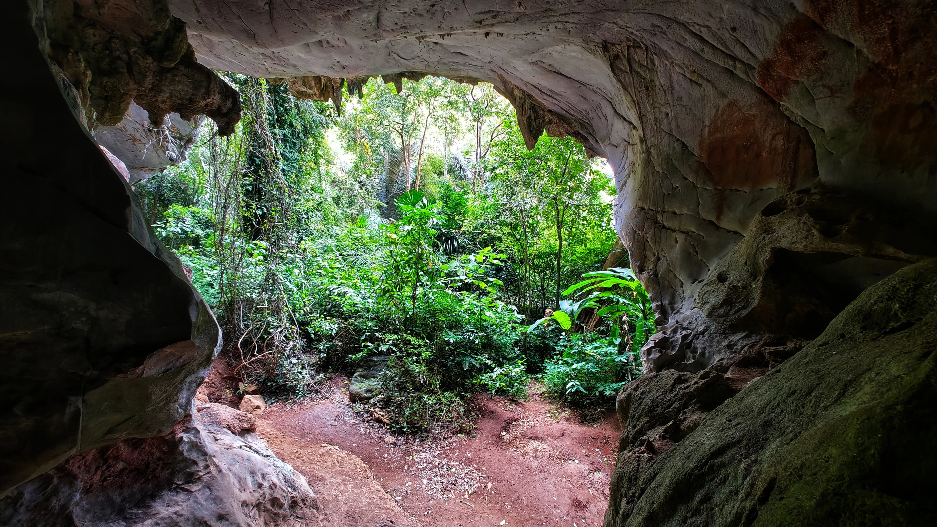
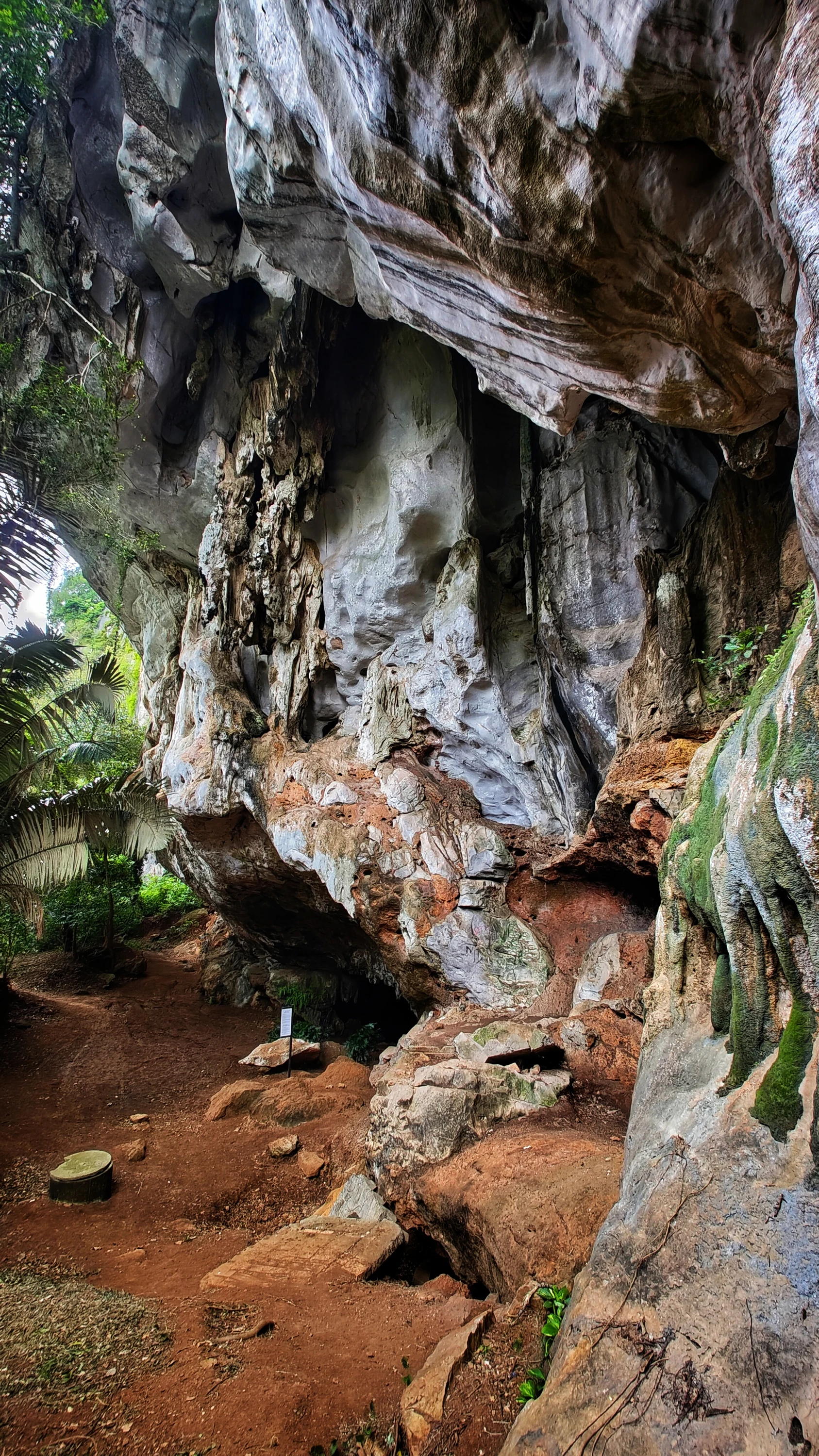
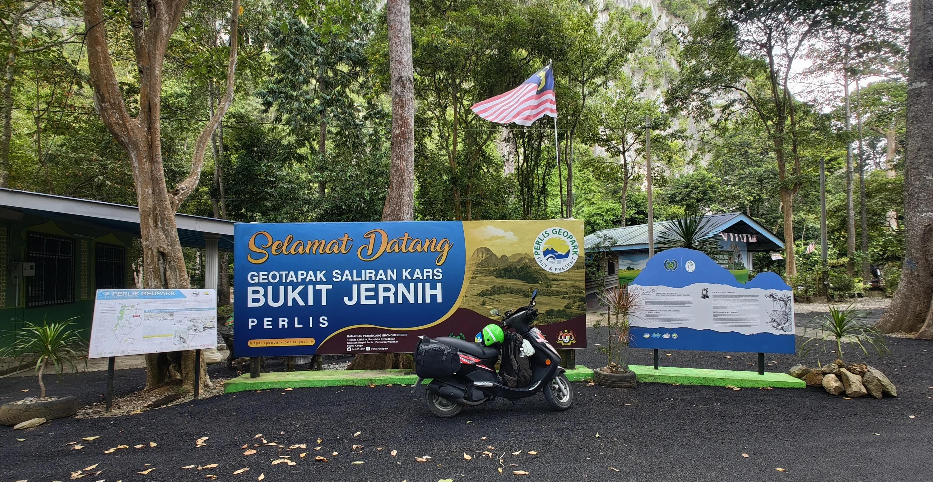
Bukit Jernih Karst Drainage Geosite lies in Perlis, north of the Bukit Keteri limestone hills and close to Kampung Kubang Tiga. It is a natural area rather than a single cave: water has dissolved the limestone over time, shaping ledges, hollows, shelters and underground streams. The rocks belong to the Chuping Formation, dating to the Triassic period, about 220 million years ago. Fossils found here include foraminifera, nautiloids, crinoids and shell deposits.
Along the geotrail, visitors can see several karst forms: rock overhangs and cavities, water-eroded hollows, limestone ridges and places where streams disappear underground. The terrain makes Bukit Jernih useful both for a walk and as an outdoor introduction to how water shapes limestone. Perlis Geopark describes a range of geological features here, and the trail is managed by the local Geoguide Association. Basic facilities and rest areas are available; local visitors come to walk, picnic and explore the caves.
Check trail conditions and cave access with local organisers before setting out. Natural passages can be uneven, dark and slippery after rain, so wear grippy footwear and bring a torch and drinking water. Keep away from unfenced edges and do not damage the rock: this geosite protects an important record of ancient marine deposits. A car is the easiest way to reach the area from Kangar; the site itself is near Kampung Kubang Tiga and Bukit Keteri.
- Address
- Geotapak Saliran Kars Bukit Jernih, near Kampung Kubang Tiga, Perlis, Malaysia
- Website
- Website
On the map

Reviews (0)
No reviews yet. Be the first!
Updated